
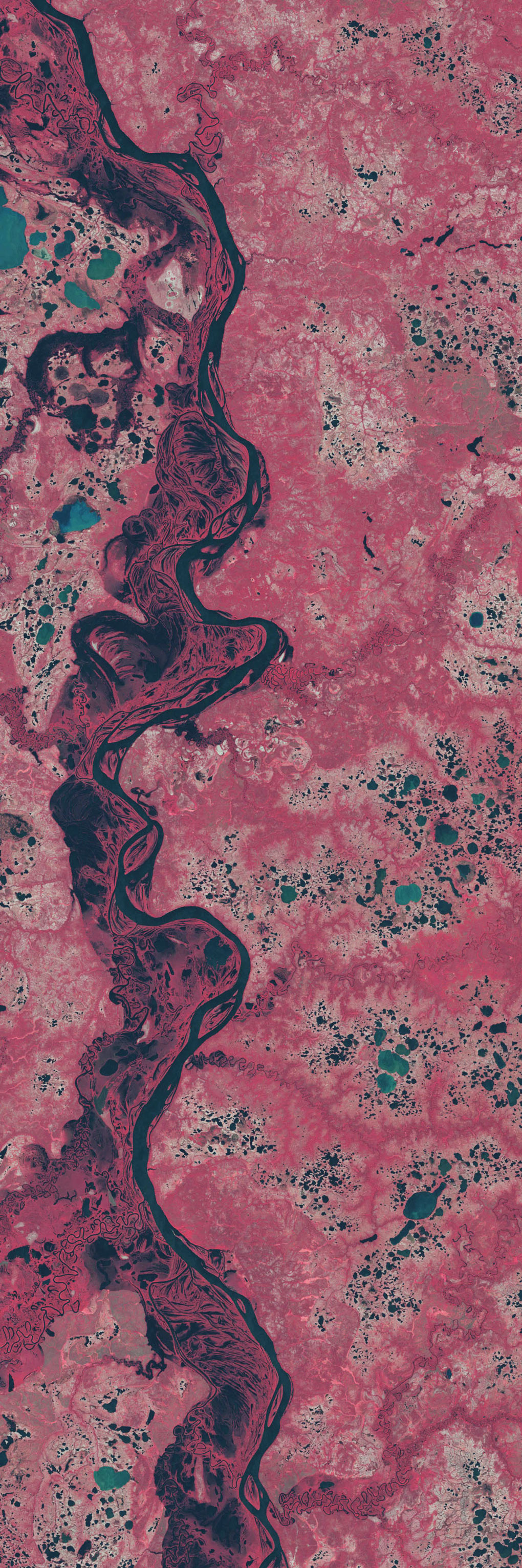
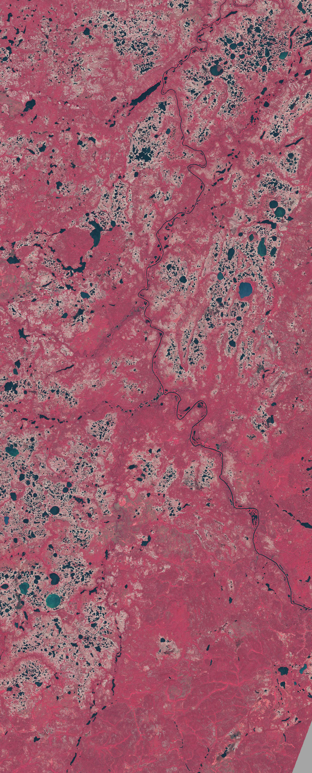
This image pair shows lakes dotting the tundra in northern Siberia to the east of the Taz River (bottom left). The tundra vegetation is colored a faded red, while lakes appear blue or blue-green. White arrows point to lakes that have disappeared or shrunk considerably between 1973 (top) and 2002 (bottom). After studying satellite imagery of about 10,000 large lakes in a 500,000-square-kilometer area in northern Siberia, the scientists documented a decline of 11 percent in the number of lakes, with at least 125 disappearing completely. These images use near-infrared, red, and green wavelength data from the Landsat MSS sensor (1973) and the Landsat ETM+ sensor (2002). - NASA Observatory
Very much inspired by this amazing blog post by pruned (which I only discovered after my sister sent me the link)
No comments:
Post a Comment