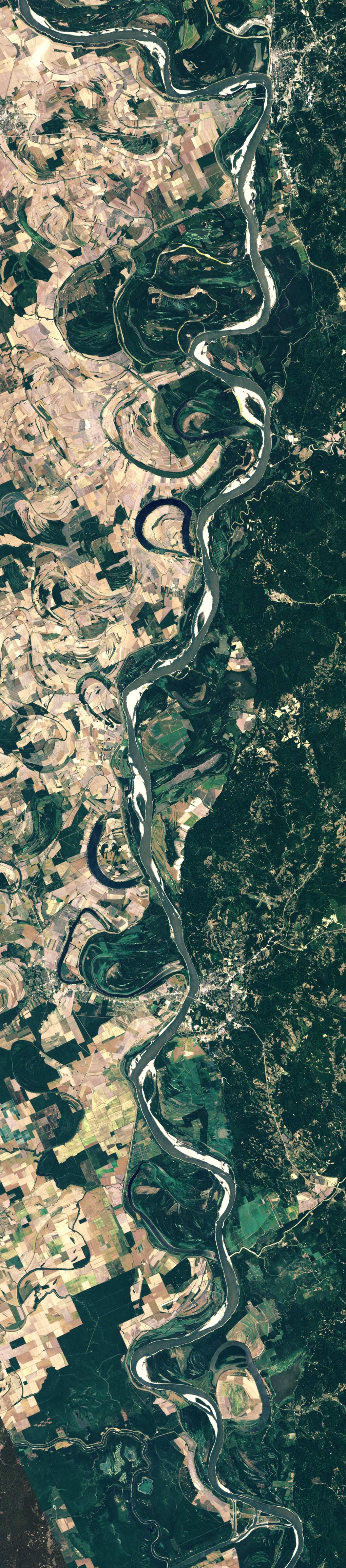
'The delta switching has occurred every 1,000 years or so in the past. As sediment accumulates in the main channel, the elevation increases, and the channel becomes more shallow and meandering. Eventually the river finds a shorter, steeper descent to the Gulf. In the 1950s, engineers noticed that the river’s present channel was on the verge of shifting westward to the Atchafalaya River, which would have become the new route to the Gulf. Because of the industry and other development that depended on the present river course, the U.S. Congress authorized the construction of the Old River Control Structure to prevent the shift from happening.' - 'Mississippi Meanders', August 31, 2006 Earth Observatory, Nasa

A blog compiled by Neeve and Claire which tends to feature; screenshots | internet diversions | lens media | fashion | fluorescent lights | maps | extra large google image search | detail shots | dead ends | gold | faux bois | suburbs at night | spotlights | dogs | Russia | Ciara | palm trees | film stills | the aesthetics of rugby | music videos | colour palettes | aerial photography | adornment |
Showing posts with label satellite imagery. Show all posts
Showing posts with label satellite imagery. Show all posts
Monday, April 16, 2012
Fast water carries sediment while slow water deposits it
A satellite image from September 1999 of the Mississippi river, showing its many channels and many ox-bow lakes. 'Soft riverbanks are continuously eroded. Floods occasionally spread across the wide, shallow valley that flanks the river, and new channels are left behind when the water recedes. This history of change is recorded in the Geological Investigation of the Alluvial Valley of the Lower Mississippi River, published by the Army Corps of Engineers in 1944.'
Wednesday, January 18, 2012
Aerial slices II: Rivers
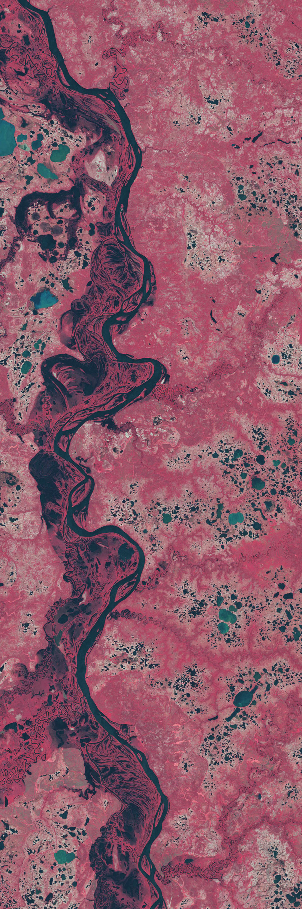
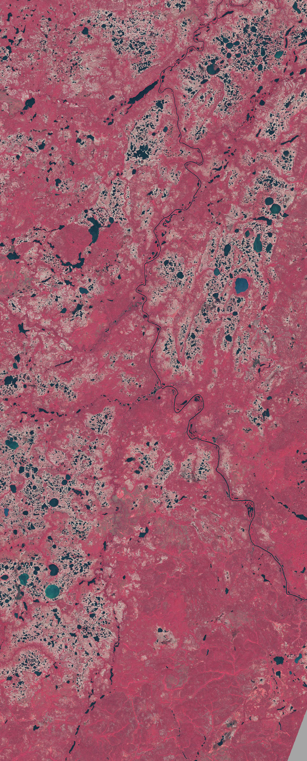
This image pair shows lakes dotting the tundra in northern Siberia to the east of the Taz River (bottom left). The tundra vegetation is colored a faded red, while lakes appear blue or blue-green. White arrows point to lakes that have disappeared or shrunk considerably between 1973 (top) and 2002 (bottom). After studying satellite imagery of about 10,000 large lakes in a 500,000-square-kilometer area in northern Siberia, the scientists documented a decline of 11 percent in the number of lakes, with at least 125 disappearing completely. These images use near-infrared, red, and green wavelength data from the Landsat MSS sensor (1973) and the Landsat ETM+ sensor (2002). - NASA Observatory
Very much inspired by this amazing blog post by pruned (which I only discovered after my sister sent me the link)
Aerial Slices: Islands and Ocean
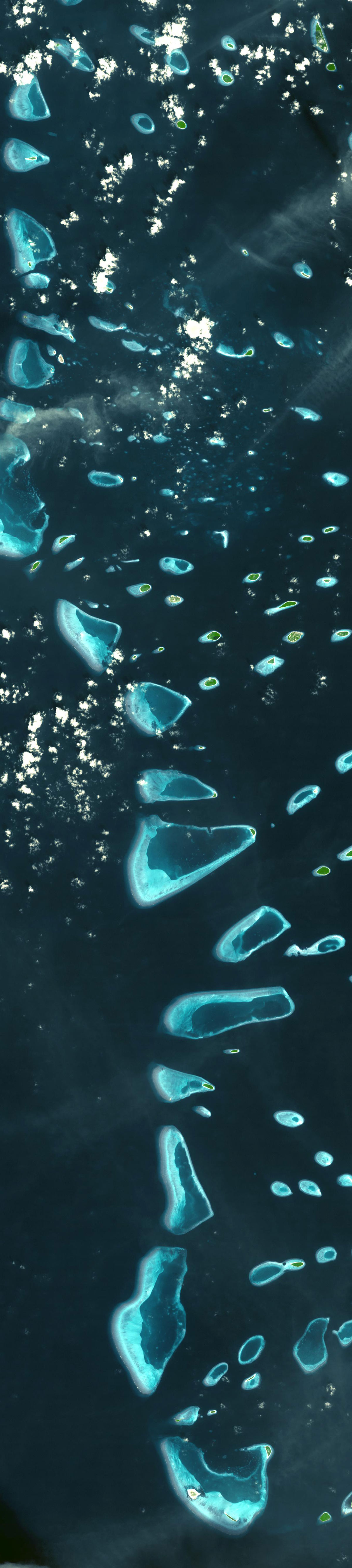 North and South Malosmadulu Atolls are in the Maldives, an island republic in the northern Indian Ocean, southwest of India. The Maldives are made up of a chain of 1,192 small coral islands, which are grouped into clusters of atolls. It has a total area of 298 square kilometers and a population of about 330,000 - NASA Earth Observatory
Subscribe to:
Posts (Atom)